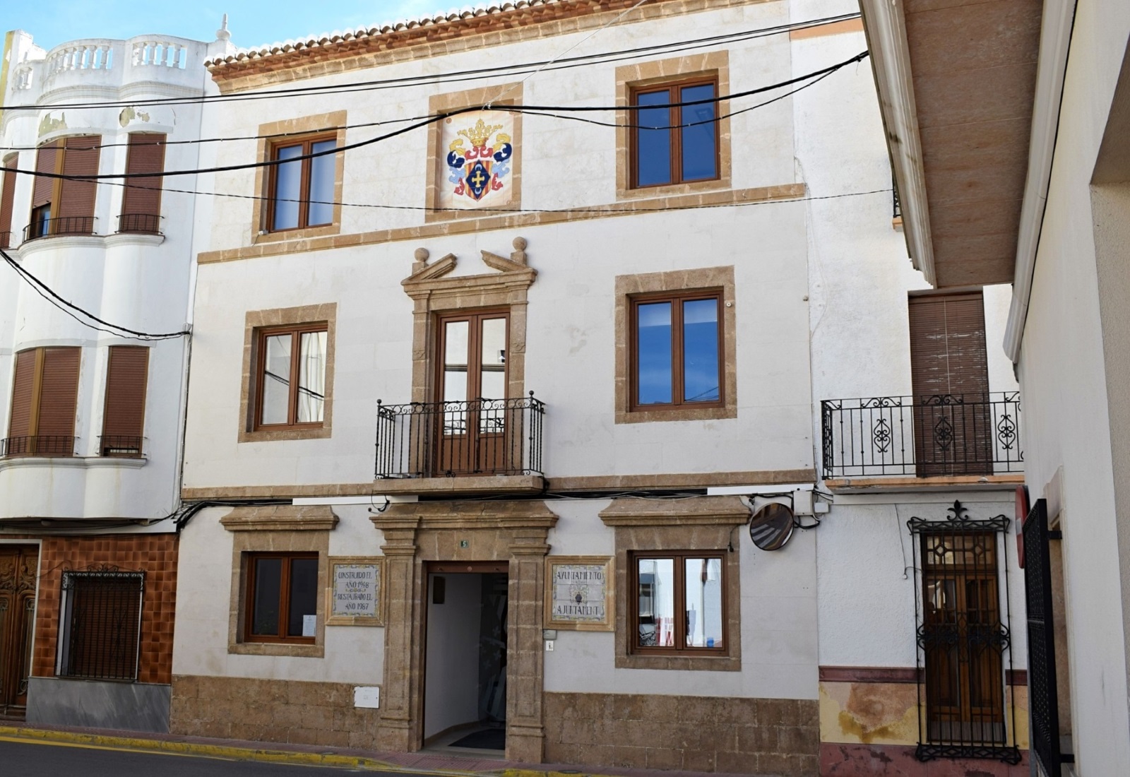
The route starts from the town center, Mercado Street, and continues along Raconet Street and Church Street.
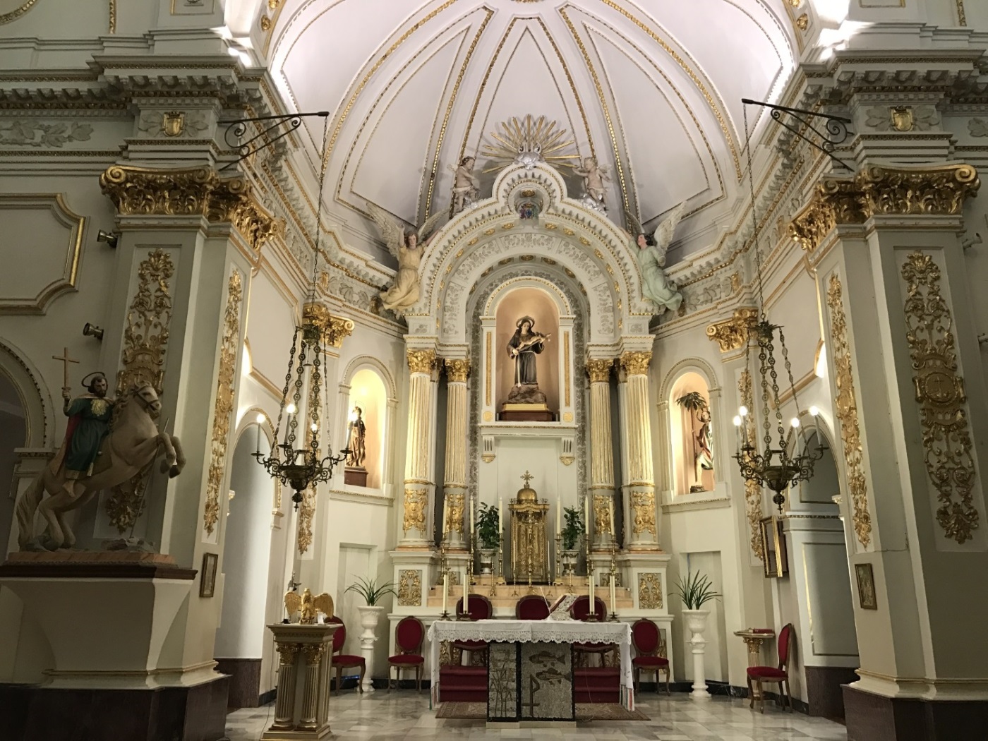
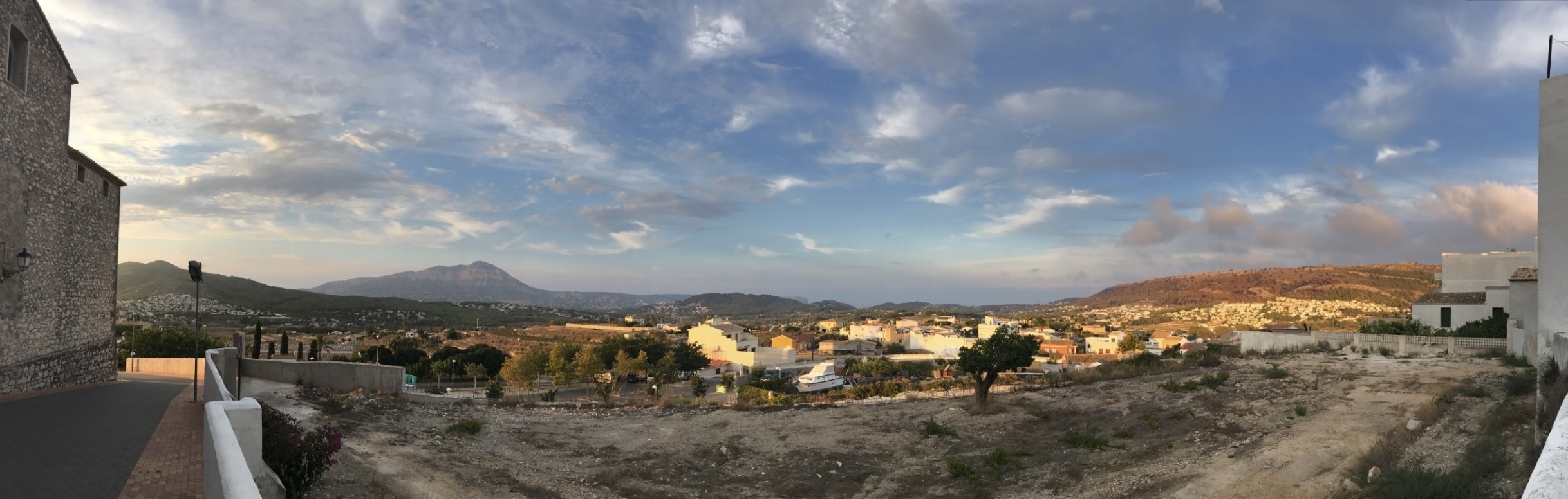
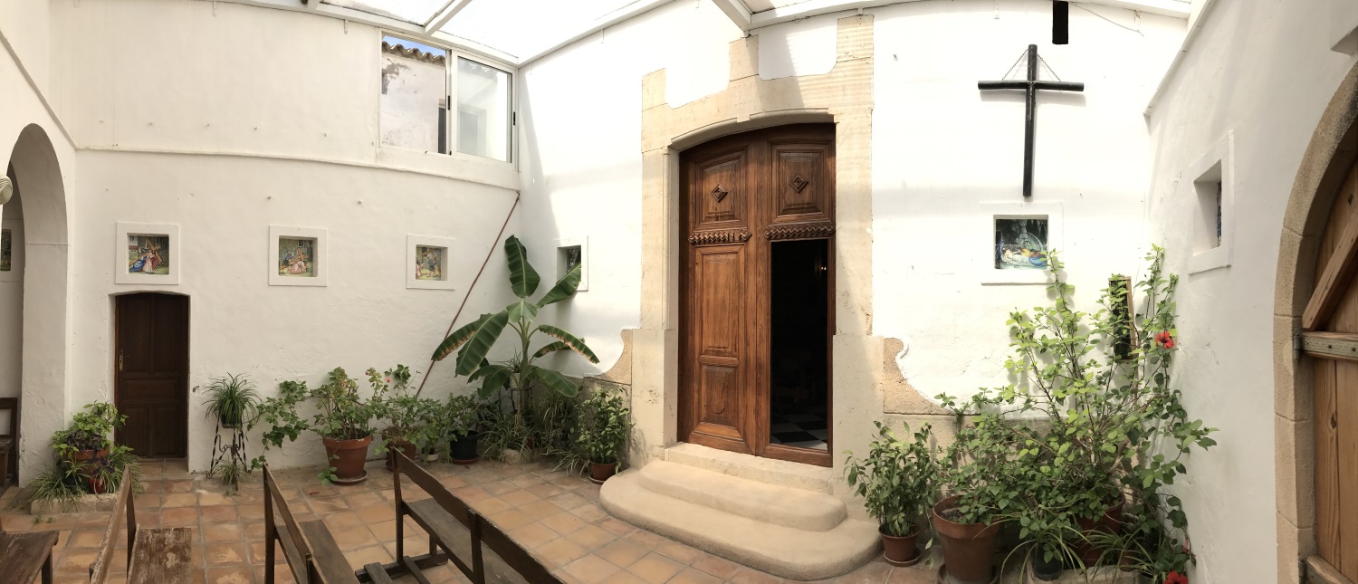
We passed through the Plaza de la Iglesia and crossed the Portalet, one of the only two entrances to the walled enclosure that formed the first houses of the municipality along with the church. Here we find a viewpoint with magnificent views.
We head towards Xàbia until the sidewalk ends, where we will cross and to the left we will head towards the Camí de la Torreta. Here begins the landscape of terraced hills where vineyard fields predominate, highlighting the cultivation of the Muscat grape.
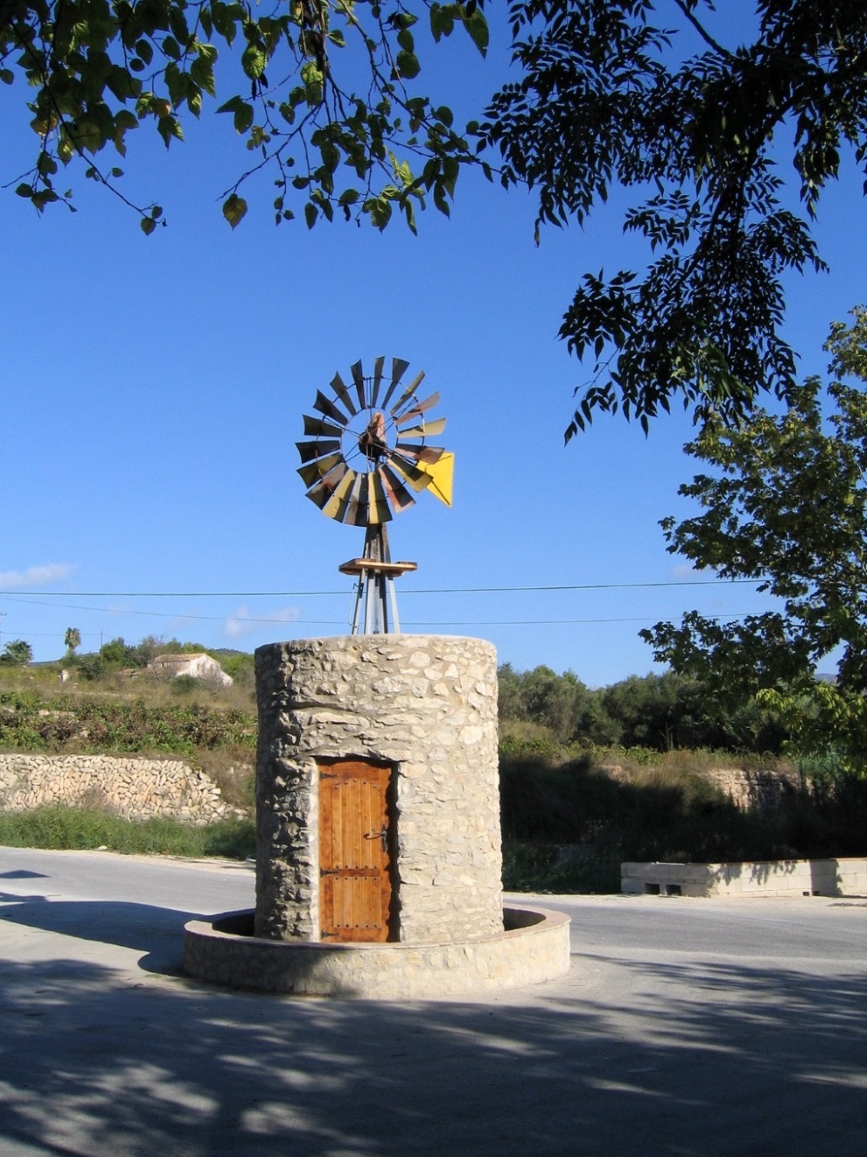
At the fork in the Les Fonts urbanization, the route continues to the left until reaching Pous de l'Abiar. There is a recreational area and a system of natural wells that supplied water to the population until the 1970s, mainly during the war and post-war era.
We go up towards the urban center until Mercado Street.
From there along Trinquet Street and Camí del Pouet. When you reach the end, cross the CV-740 Crtra. of the Font. The route continues through Calistros Urbanization, Assegador highway, Camí de la Torra; camí de l’Assagador, calle del Pozo.
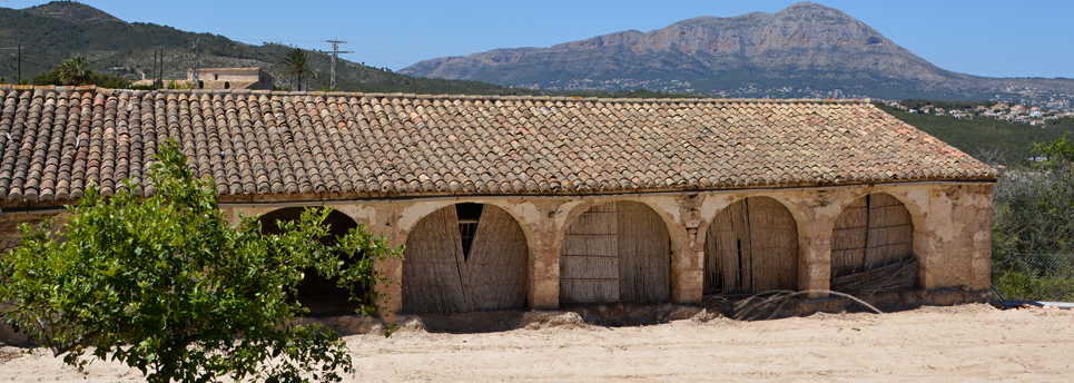
Before reaching the town center we find remains of a Riurau. It is an isolated rural construction that was intended for the production of raisins. The riurau is the most characteristic element of the traditional architecture of El Poble Nou de Benitatxell and the entire region.