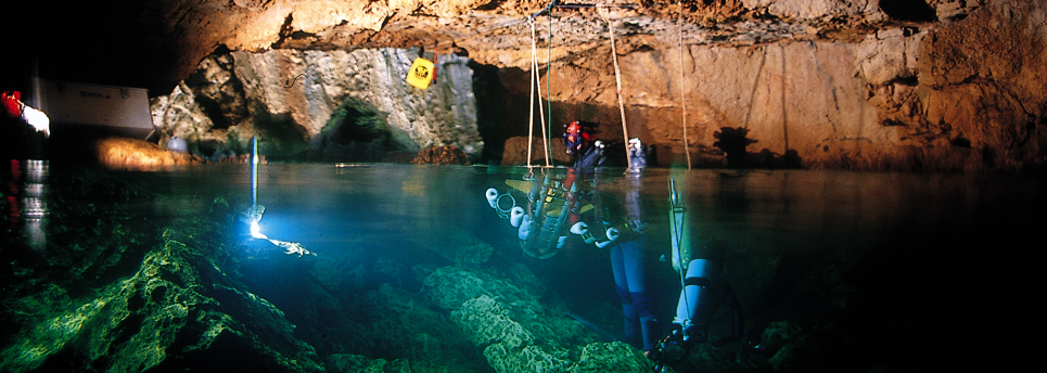
The entrance of the underground river of the Moraig, also known as Riu Blanc is located near Cova dels Arcs, just a few metres to the South. Underwater upwelling that download the aquifer of Benissa. This cave consists of a wide gallery of which part a main duct that in depth, branches, creating forks and galleries. The explorations carried out by cave diver have allowed recognize 2 km of ducts completely submerged, reaching a depth of 60 meters under the sea level. Its output lagoon is placed next to the vertical wall of the Moraig failure.
The aquifer of Benissa, with a surface of 270 km2, is bounded to the east by the Sea (between the Cap de Sant Antoni and the Morro de Toix), to the north by the Sierra de Montgó, to the west by the Sierra de la Solana and the basin of Tarbena and, to the south, by the Sierra de Bèrnia.
It is a coastal karstic aquifer formed by carbonate rocks, which are in direct contact with the sea, so there is a hydraulic connection between the salted sea water and fresh water from the aquifer. The entry of seawater by karstified carbonate rocks explains the high salinity. It is, therefore, an upwelling of salted freshwater.
The ways through which circulates the marine water are not known but the observations lead us to consider that the water enters the sump of the Cova dels Coloms, on the Morro de Toix (located between Altea and Calpe), passes through the aquifer system of Benissa depression through approximately 20 km of karstic conduits and resurface by the underwater upwelling of the Moraig (in El Poble Nou de Benitatxell).
This system of sinks and galleries, formed by different galleries, wells, and forks, constitutes, together with the Greek Island of Kephalina, a hydro-geological phenomenon unique in the world and will be to discover if it is the deepest underwater River of Europe.
In March 1998, the Department for public buildings and urban planning promoted the "Asistenta técnica de redacción del estudio de recuperación del acuífero de la Depresión de Benissa (Marina Alta – Alicante) technical assistant of the study to recover the aquifer of the depression of Benissa. In the process of this work, complementing a classical hydrogeological study, multiple parametric instruments were settled in both cavities, registering time series, every 30 minutes, for a period of 18 months. The parameters measured with this instrument were: temperature, conductivity, pressure, intensity and direction of flow. Through the upwelling of Moraig, the average flow rate was estimated at 900 l/s.
The Riu Blanc or Moraig Riu is only accessible to cave diver with high expertise and specialized equipment. Despite of high degree of knowledge the cavity is extremely dangerous due to its single route and exit to the surface for which there is a risk of being trapped.
A group of cave diver from different countries have established the “Grupo de Espeleología Moraig" (GEM). Since 2013 they are intended to expand the study of the River, its topography and the internal life of the cave. As well, giving continuity to the work that in his day were realized by divers as Bernhard Pack or José María Cortés, who expanded into the cave up to 1,125 m.
This aquifer of El Poble Nou de Benitatxell began to be investigated in 1974. Eloy Parra was the first diver to immerse into the cave up to 200 meters. Later, Juan José Palmero and Vicente Alegre continued the work of Parra but unfortunately died inside.
Bernhard Pack and José María Cortés managed to expand into a greater distance, always to locate of freshwater in mind. They arrived up to 1,125 meters of distance on the principal way and 60 meters deep and also mapped two side galleries of 300 meters each. Tragically, Pack lost his life in the inside of the grotto, but left an important documentation of the aquifer system
Currently, the physical reality of the Riu Blanc and its drainage systems are still to be discovered and continue to arouse interest to technical specialists.
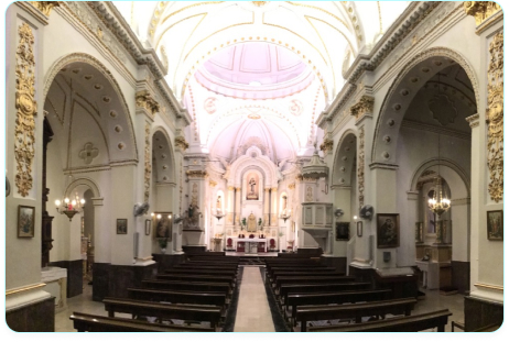
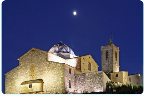
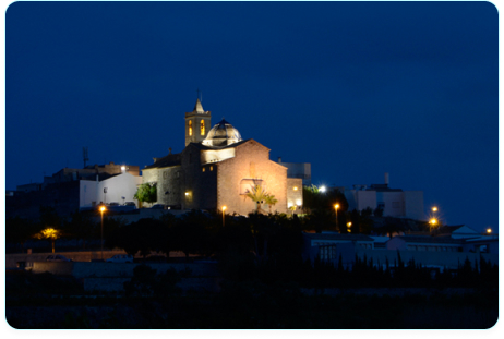
Location